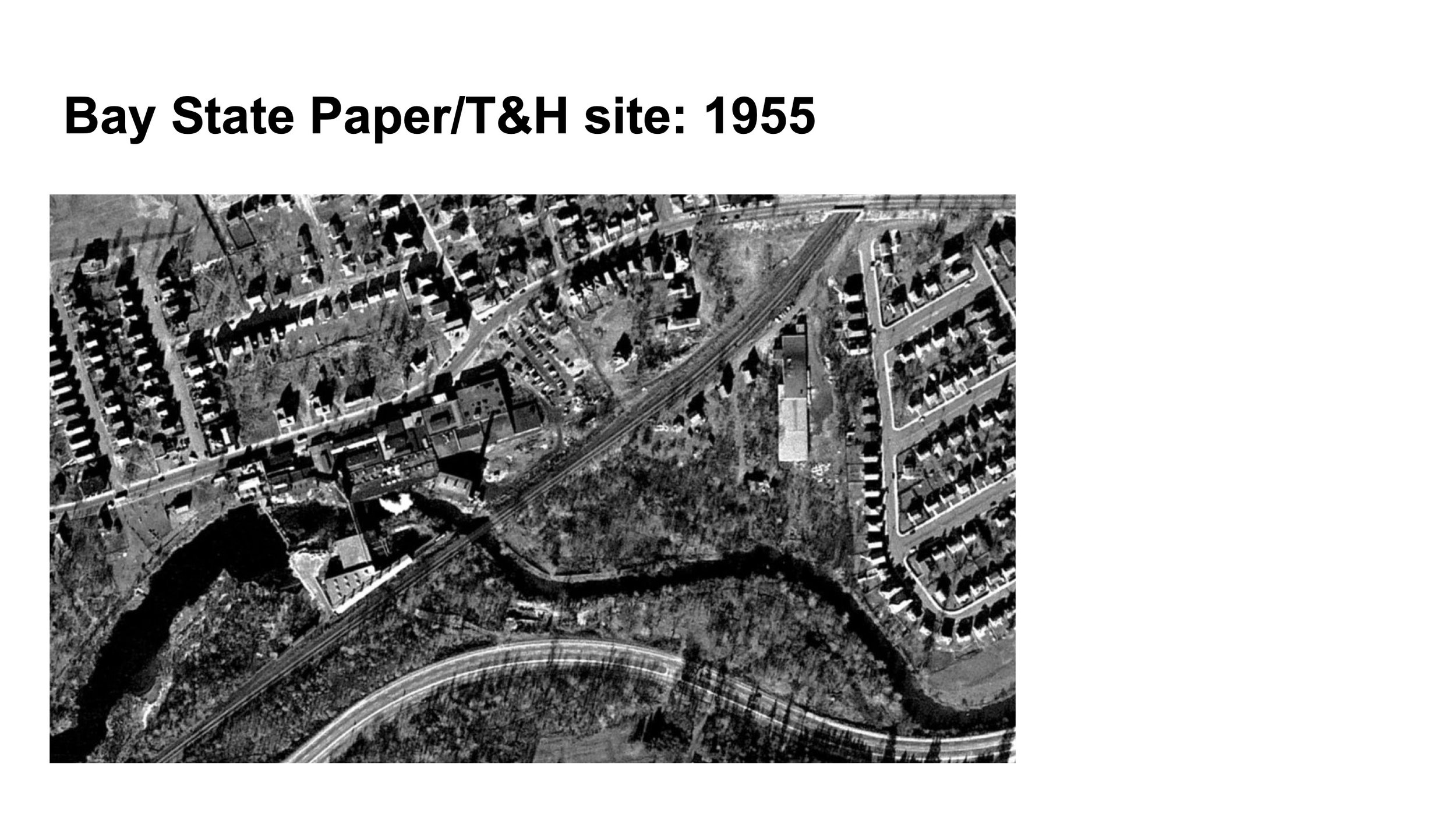
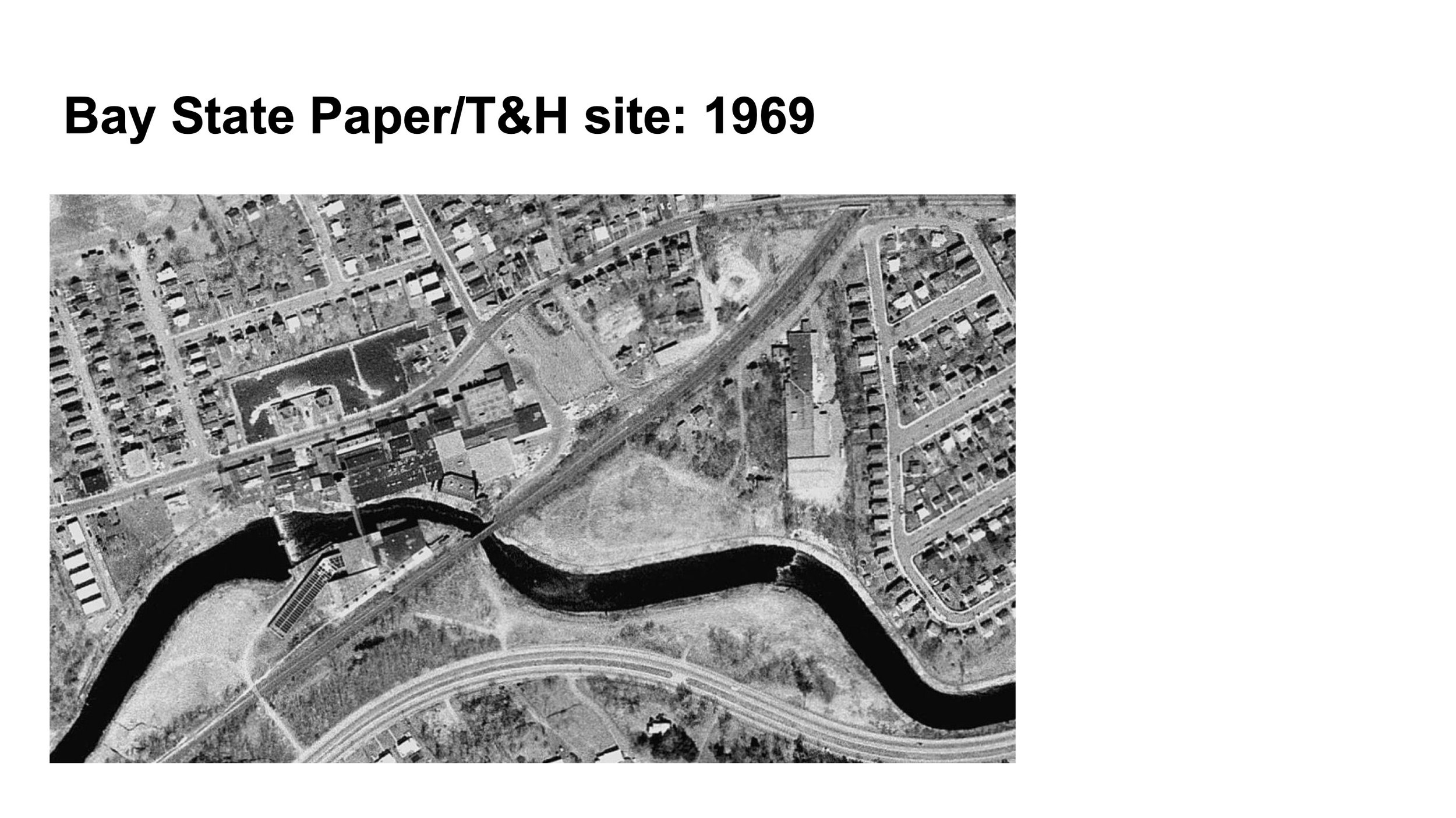
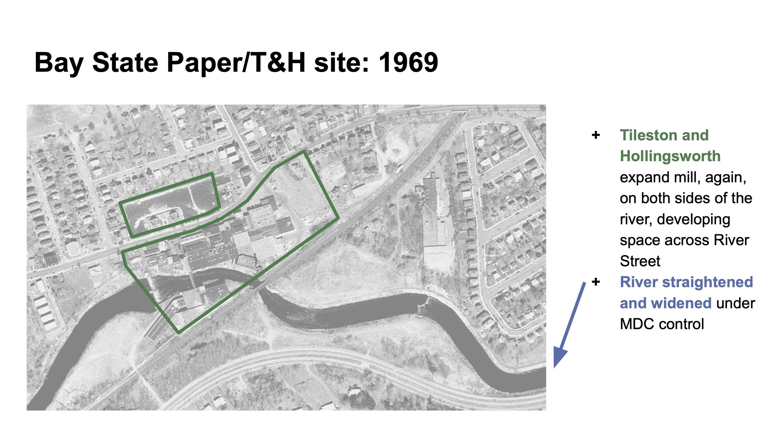
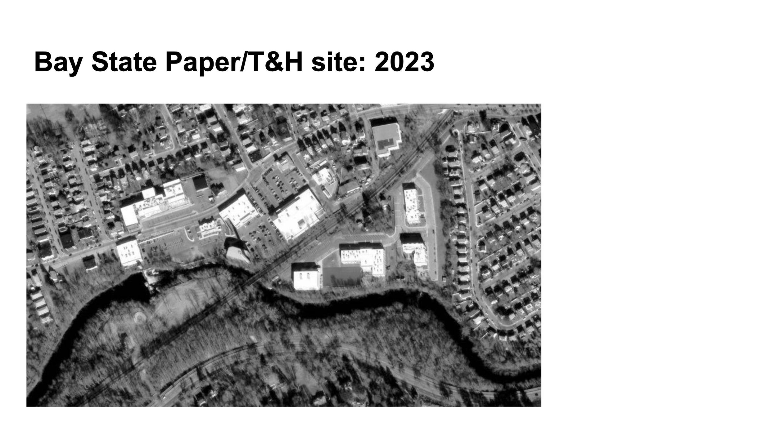
The Neponset River: An Industrial History
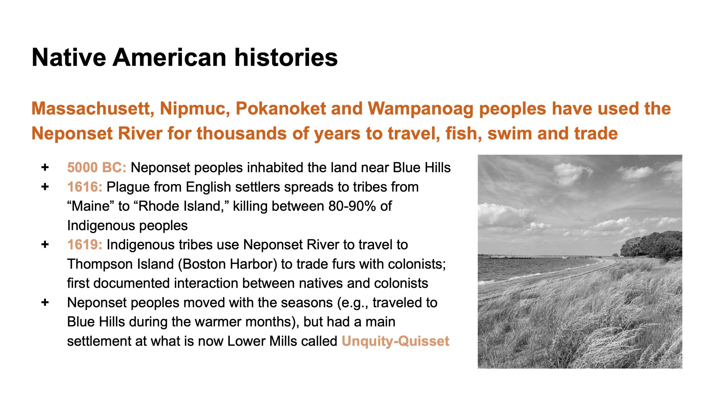
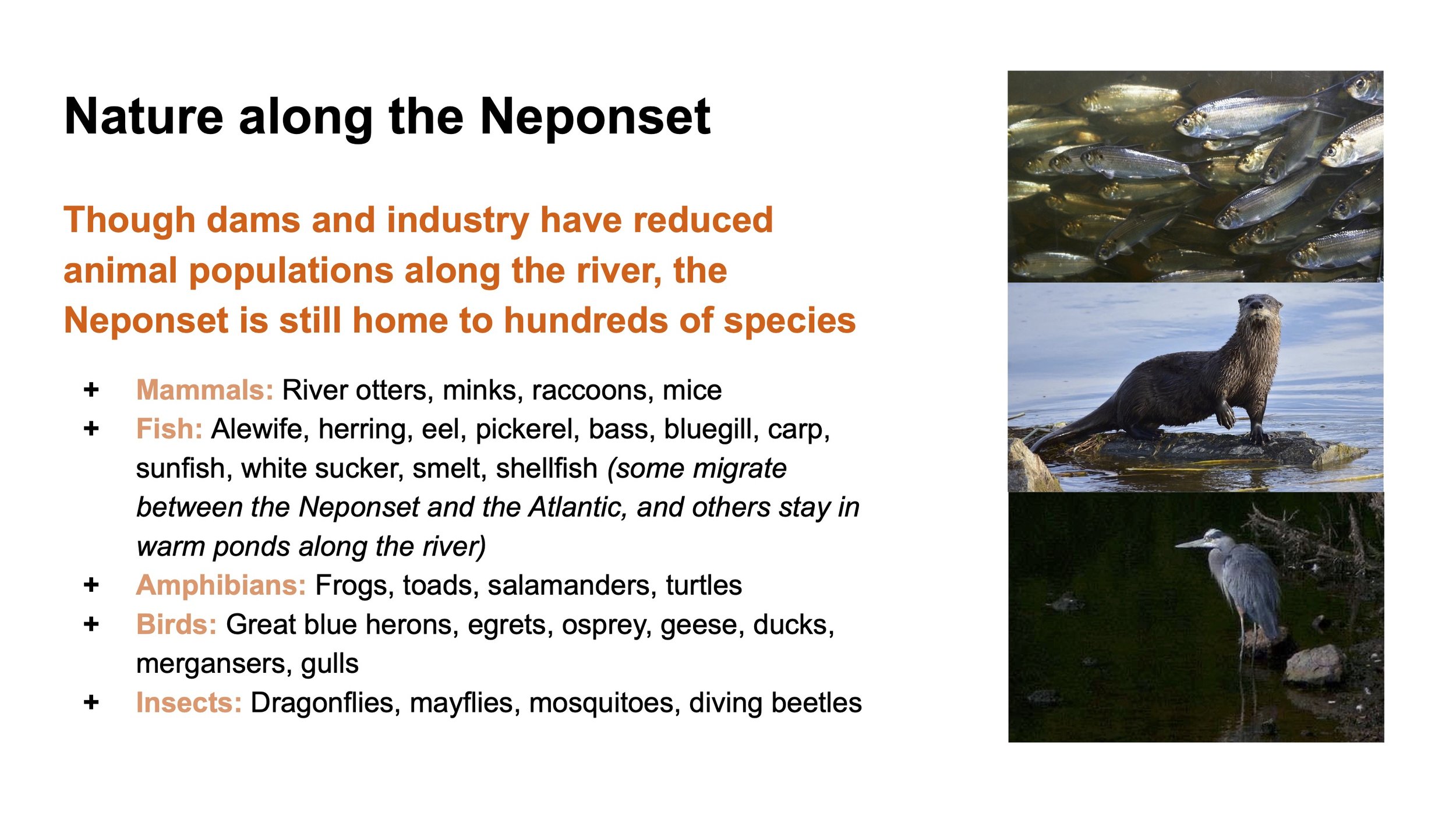
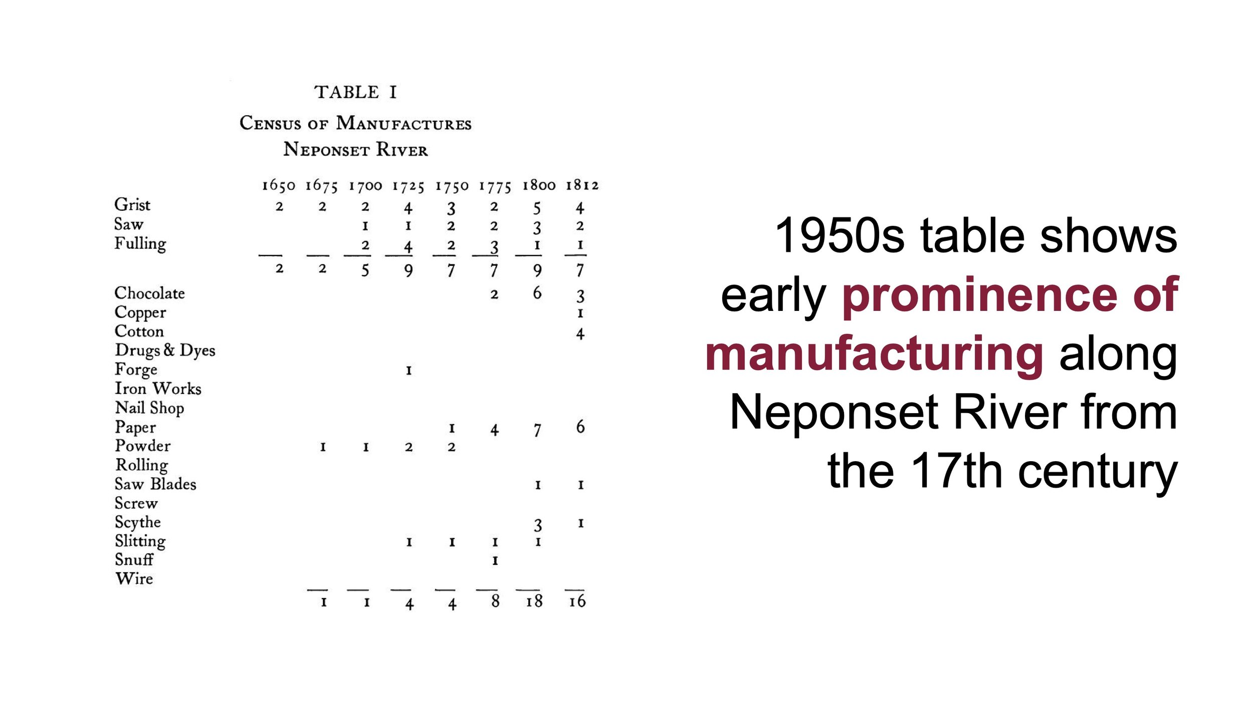
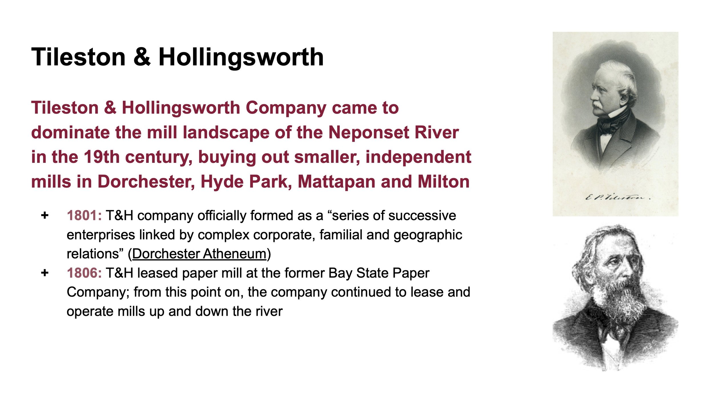
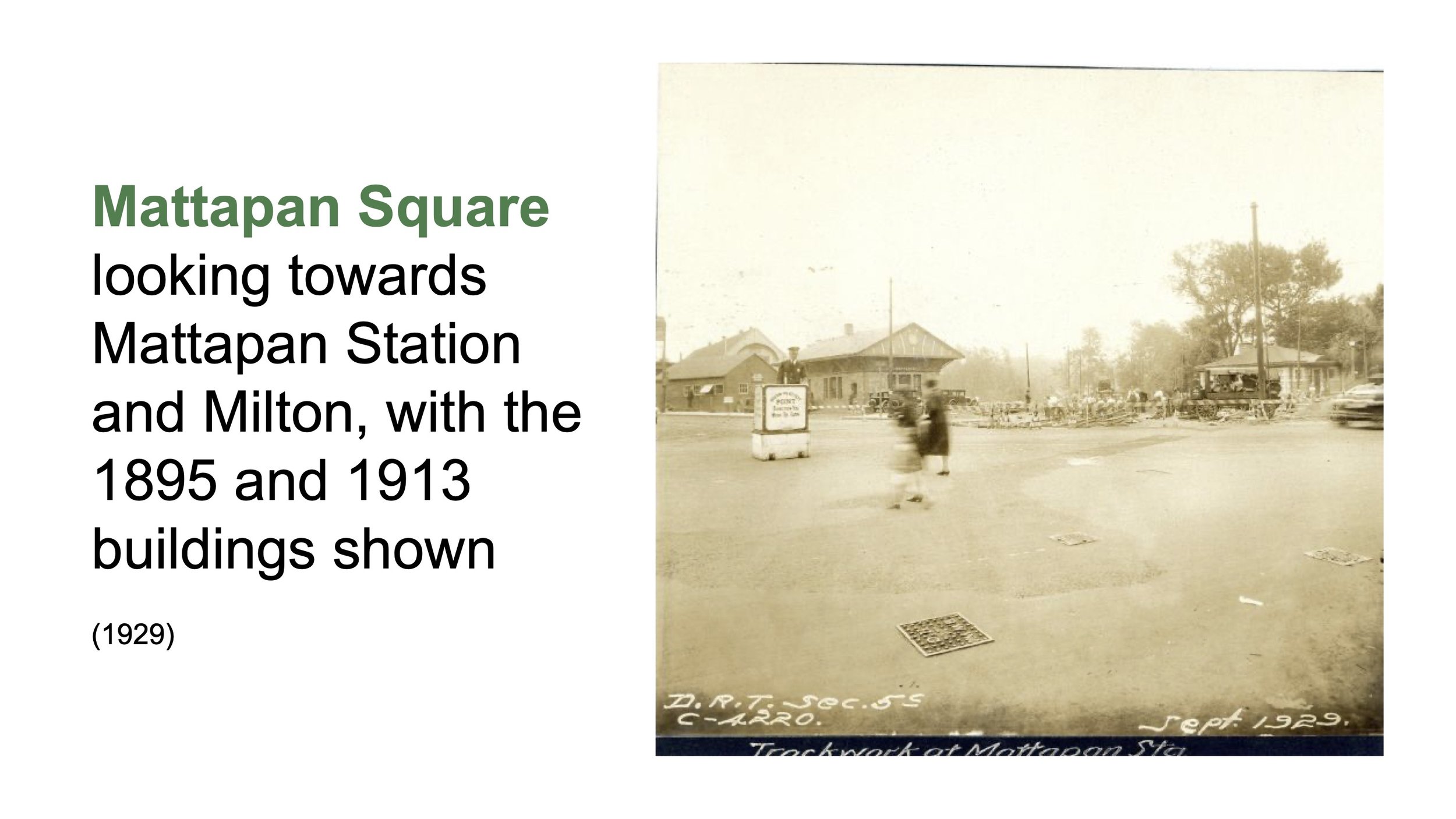
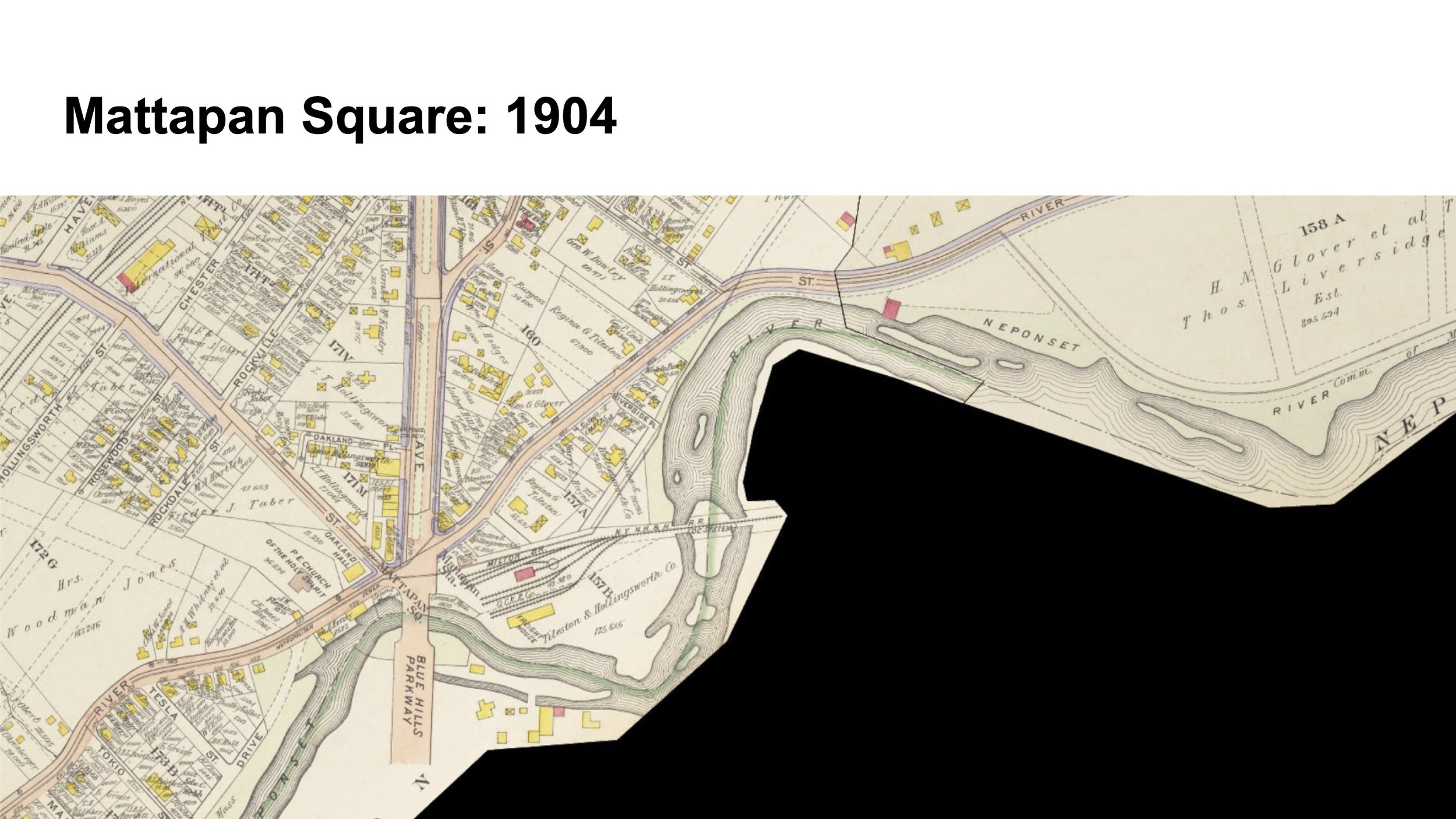
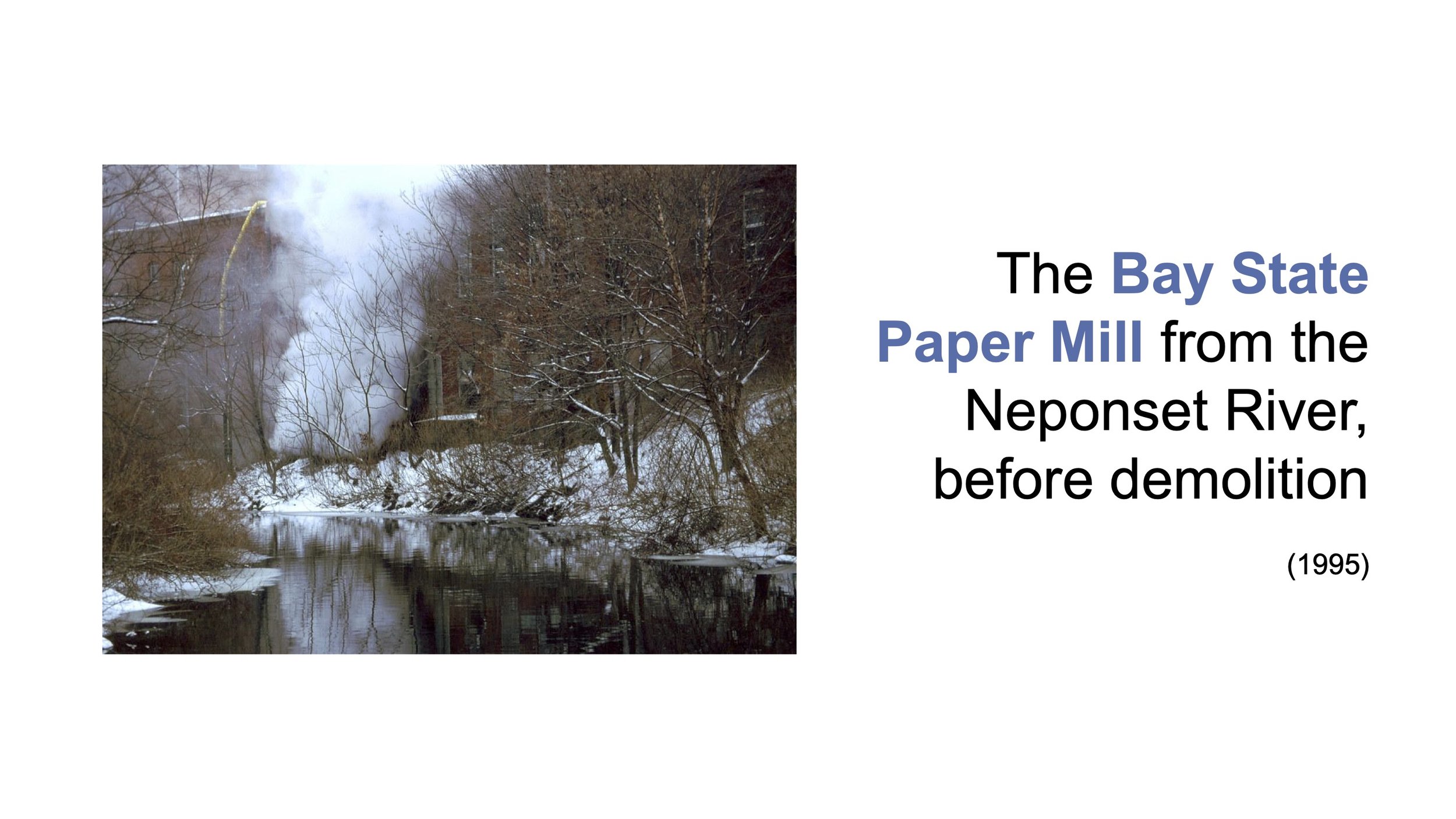
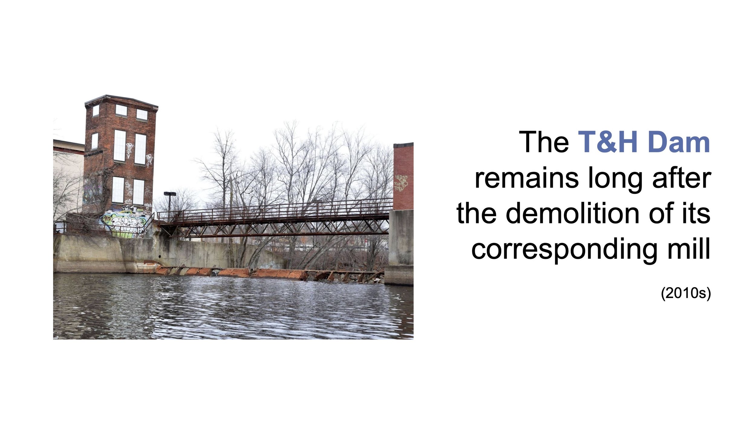
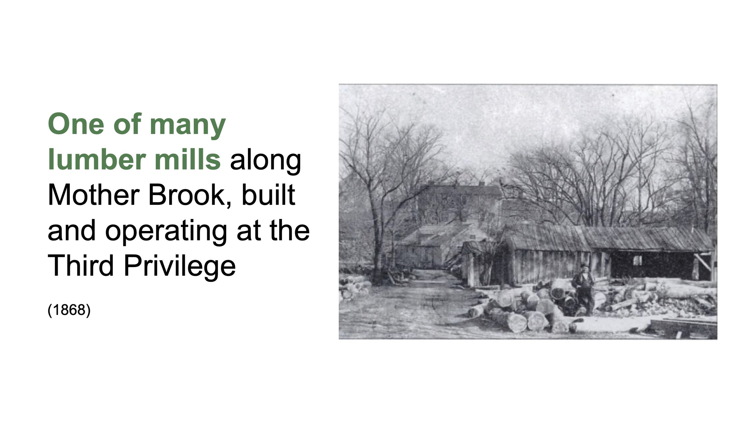
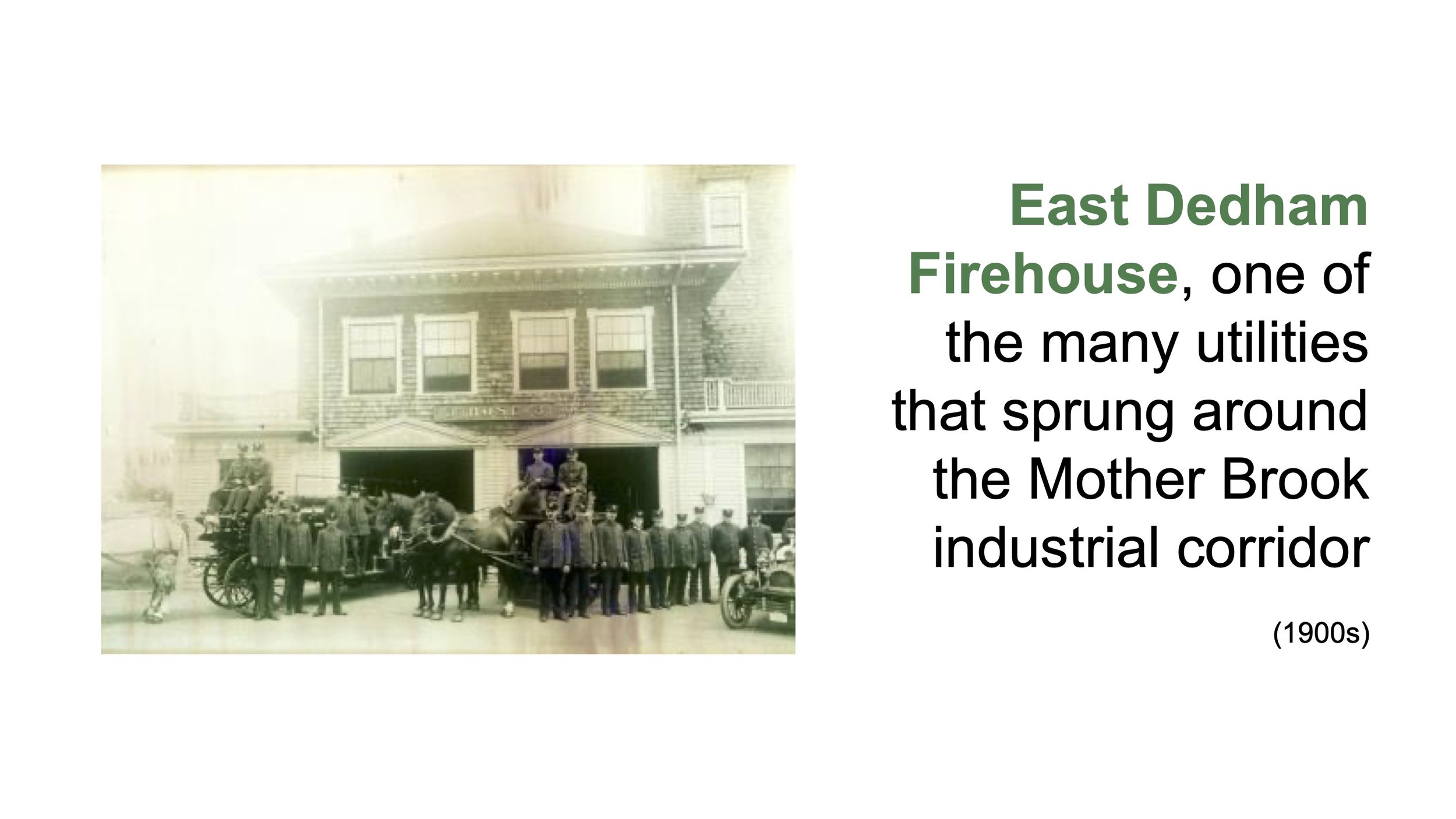
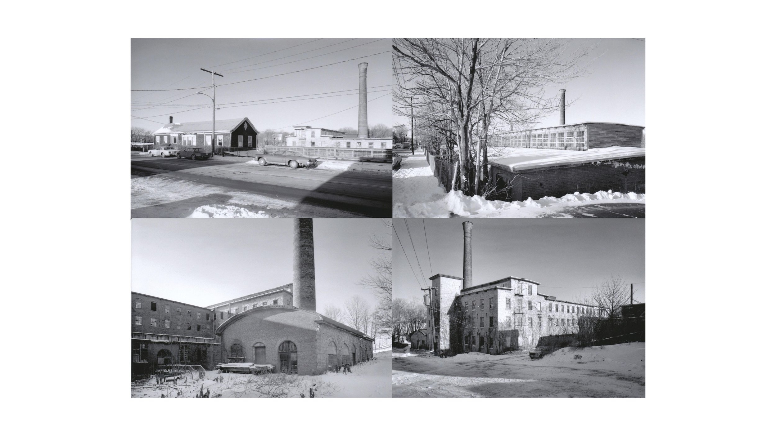
In early 2024, I joined the Hyde Park Neponset River Access Committee and was supported by the Southwest Boston Community Development Corporation and Neponset River Watershed Association in visualizing the complex histories of the Neponset River, with a focus on the stretch of the river adjacent to Boston. The Neponset River represented many “firsts” for a river in the colonized United States, and has unique ecological and industrial histories that are still evident in Boston’s southern neighborhoods. To paint a full picture of the river’s development from Native times until today, I worked with historical societies, consulted extensive archives, located photographic records and studied aerials and atlases, many of which are visible in the slides below (broken up into five sections based on geography). The work culminated in a workshop to both share the archival history and additional community histories, as well as a workshop to study advocacy efforts and methods around the river, understand current projects happening to expand access to the river and map barriers and open space opportunities in surrounding neighborhoods. I served as the key facilitator for both workshops, and shared key findings with the Department of Conservation and Recreation (DCR) and Environmental Protection Agency (EPA), both of whom are actively leading Neponset River access and remediation projects. Please click through the slides below to see a snapshot of the information compiled through this project.
Thank you to the Solomon Foundation for supporting this work! Please view the full Google Drive presentation (with content and photo credits) here.